


-
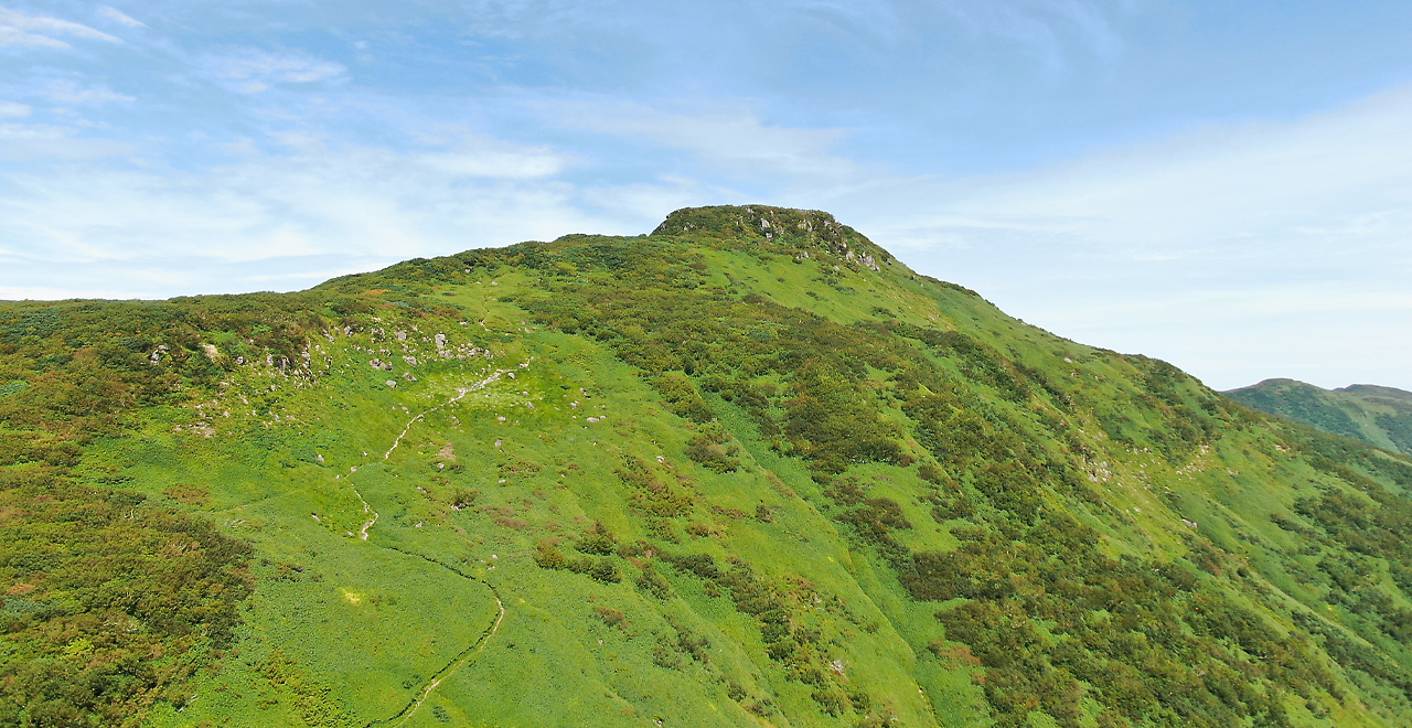
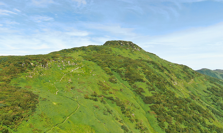
Mt. Kariba
-
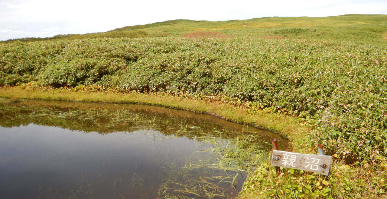
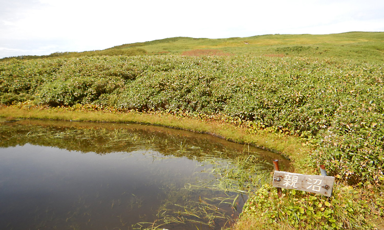
Oyanuma Pond
-
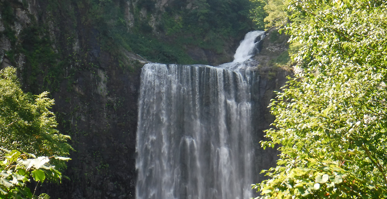
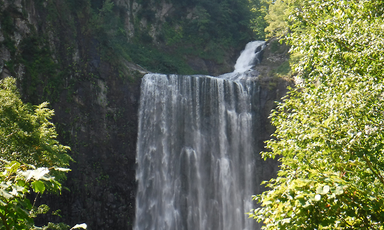
Garo Falls
-
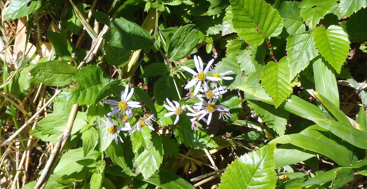
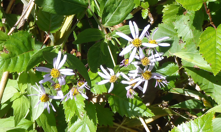
Ezonokongiku flowers
-
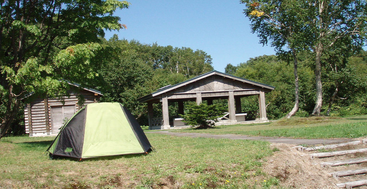
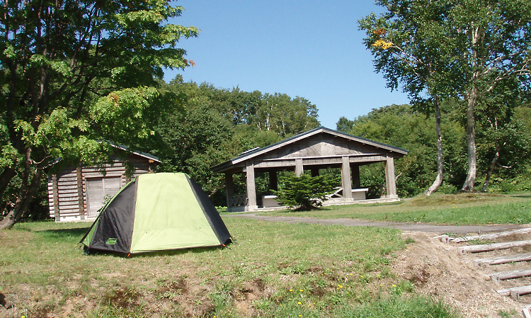
Garo Kogen Campsite
-
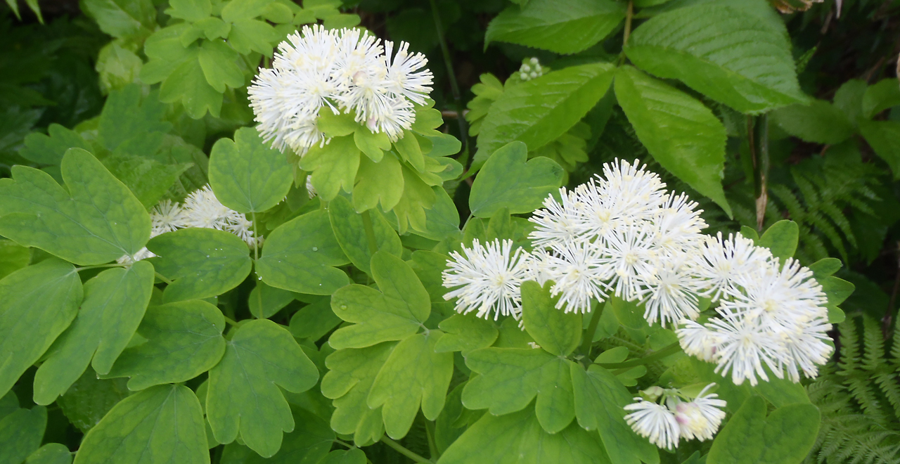
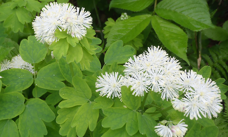
Columbine meadow-rue flowers
-
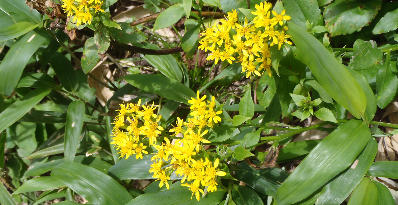
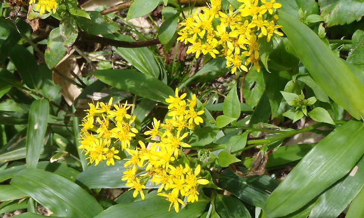
Alpine European goldenrod flowers
-
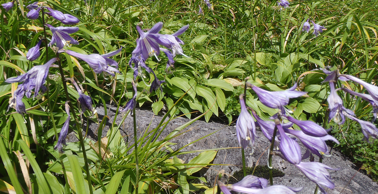
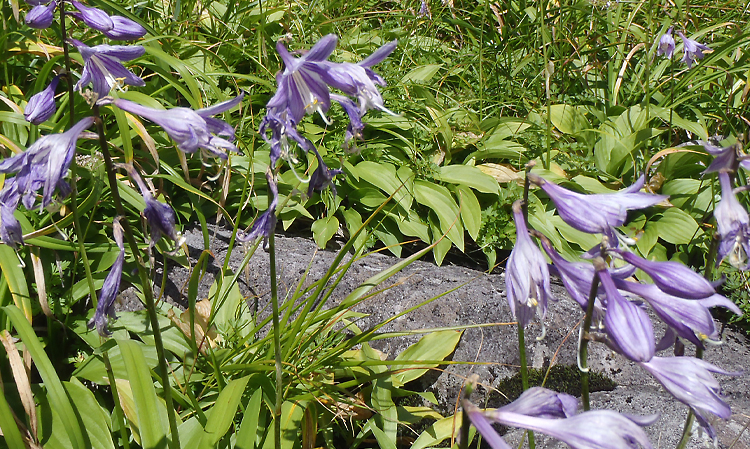
Tachigiboshi flowers
-
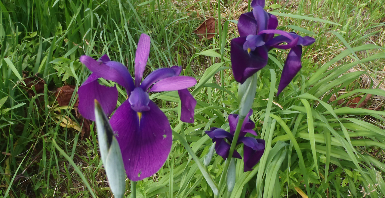
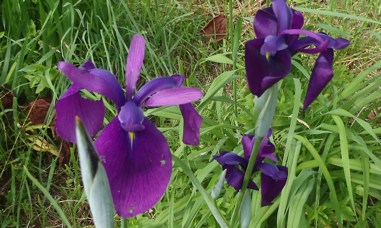
Japanese water irises
Kariba-yama (Mt. Kariba) Recreation Forest
2,248.23ha
Elevation Lowest: 500 m / Average: 500–1,520 m / Highest: 1,520 m
Mt. Kariba surrounded by a vast primeval Japanese beech forest
and a gorge full of natural splendor
Mt. Kariba surrounded by a vast primeval Japanese beech forest
and a gorge full of natural splendor
- Newest information
- Area
- Activities
- Overview
- Latest Information
- Usage Guide
- Facility
- Map
- Location
- Access
(Distances and times are
provided as a guide only) - Management office
contact details - Information on Other Local
Tourist Attractions - Official Tourist Information
- Recreation Forest
Management Committee - Supporters
- Other
- Newest information
- CHECK
Please visit official tourism websites for the latest updates and information.
- Area
- Hokkaido
- Activities
- Flower-viewing Waterfall viewing : Garo Falls (Outside the forest) Mountain climbing (Includes surrounding area) Ski (Includes surrounding area)
- Overview
-
- Geographical/topographical features
- The Recreation Forest covers part of the Kariba Mountain Range, including Mt. Kariba, which lies between Setana Town and Shimamaki Village and has the highest elevation in southern Hokkaido. The area generally has steep topography. Mt. Kariba is an andesitic stratovolcano that was active 800,000 to 250,000 years ago. Garo Kogen spreads across the foot of the mountain and contains Garo Falls, which has been selected as one of Japan's 100 best waterfalls. In addition, many vacationers visit a nearby campsite in the summer.
- Historical/cultural features
- "Kariba" is said to be derived from "karinpa-us," which means "a place with a lot of cherry (bark)" in the Ainu language.
Mt. Kariba is one of the 300 Famous Japanese Mountains. Records indicate that mountaineers used skis to first reach the peak of Mt. Higashi-Kariba in 1928. Since then, many climbing routes have been developed. The entire area is within Kariba-Motta Prefectural Natural Park. - Climate, flora and fauna
- The area is on the Sea of Japan side of Hokkaido, where strong seasonal winds blow in the winter. As the Recreation Forest is located at high elevation and receives heavy snowfall, unmelted snow lingers even in the summer. The forest is also known as a treasure house of alpine plants. Near the summit of Mt. Kariba around August, you can see meadows filled with various blooming alpine plants, such as Iwaicho (deercabbage (Nephrophyllidium crista-galli)), Ukonutsugi (Weigela middendorffiana), Karamatsuso (Thalictrum aquilegifolium), Kibanashakunage (Rhododendron aureum), Chinguruma (Aleutian avens (Geum pentapetalum)), Kokemomo (lingonberry (Vaccinium vitis-idaea L.)), Miyamakinpoge (Ranunculus acris var. nipponicus) and Miyamakinbai (Potentilla matsumurae).
- Attractions
- The summit of Mt. Kariba offers a splendid 360° panoramic view, with Cape Motta facing the Sea of Japan and the Oshima Peninsula and Okushiri Island in the distance. Many hikers come from all over Japan to enjoy the magnificent view and the flowers in the alpine meadows. A particularly popular sight is the mystic scenery of Okotsunai Pond on Mt. Okotsunai to the northwest of Mt. Kariba and the beautiful forest reflected on the pond's surface. The lush vista of the dense primeval Buna (Japanese beech (Fagus crenata Blume)) forest in the Garo Kogen area is also appealing. Moreover, Garo Falls in Garo Kogen is said to be the best waterfall in Hokkaido and gives the impression of a deep mountain valley.
The approximately 4 km Chihase-Shindo Course is a relatively easy course among the Mt. Kariba hiking courses. Hikers can find snow covering the gorge as late as July. The hike offers a pleasant walk among the flowering alpine meadows and view of both Oyanuma Pond (parent pond) and Konuma Pond (child pond) around the ninth station.
The Makomanai Course is about 8 km long. When hikers cross a suspension bridge over the Makomanai River and reach the ridge, they enter a vast primeval Japanese beech forest. After climbing up 3 steep slopes, the forest transitions to a Dakekanba (Erman's birch (Betula ermanii)) forest, and the view opens up to a gorge that is still covered in snow until July.
The longer 14 km Motta Course is recommended as a descent. After walking down from the summit along the ridge, hikers come to a moderately sloping lava plateau. Motta Konuma Pond along the way provides a nice resting place, but caution is required as Higuma (Ezo brown bears (Ursus arctos)) are sometimes found in the area.
Shimamaki Village’s cat ski tours on the slopes of Mt. Higashi-Kariba (contact: Shimamaki Municipal Office 0136-75-6211) attract skiers from overseas seeking excellent powder snow, including skiers from the United States and Europe.
- Latest Information
-
- Warnings (Flora and fauna)
- Ticks: Please note that ticks are present in the underbrush. Wearing long sleeves and long trousers is essential.
Ezo Brown bears: Higuma (brown bears (Ursus arctos)) may be present. When entering the forest, please carry a bear bell and stay in a group. Check for local information on bear sightings and warnings and follow instructions.
- Usage Guide
-
- Entrance fee
- None for the Recreation Forest itself
- Operating hours and seasons
- Basically accessible 24 hours a day. However, the forest road becomes impassable during the winter.
- Accommodation options
- [In the direction of Shimamaki Village]
20 km (about 50 minutes by car) to Japanese inns and guest houses in Shimamaki Village
[In the direction of Setana Town]
20 km (about 50 minutes by car) to hotels, Japanese inns and guest houses in Setana Town
- Facility
- Toilets and drinking fountains (Outside the forest) Walking trail (Includes surrounding area) Parking lot (Includes surrounding area) Accommodation facilities (Hotels/Japanese inns) (Outside the forest)
- Map
- Location
- Shimamaki Village, Shimamaki County /
Setana Town, Kudo County, Hokkaido
- Access
(Distances and times are provided as a guide only) -
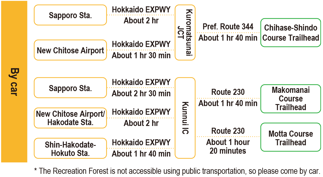
-
Parking lot capacity / parking charges- ・Makomanai Course Trailhead
- Free parking for 20 ordinary vehicles
- ・Motta Course Trailhead
- Free parking for 20 ordinary vehicles
- Nearby tourism facilities
- [Toward Shimamaki Village]
- Garo Kogen Campsite (about 10 minutes by car / about 30 minutes on foot)
- Garo Falls (about 5 minutes by car / about 20 minutes on foot)
- [Toward Setana Town]
- Makomanai Campsite, Makomanai Dam (about 25 minutes by car)
- Management office contact details
-
Shiribeshi District Forest OfficeTEL:0136-22-0145Oshima District Forest Office
- Information on Other Local Tourist Attractions
-
[Toward Setana Town]Garo Falls, Garo Kogen Campsite[Toward Setana Town]Sanbonsugi Rock (unusual rock formation)
- Official Tourist Information
-
Shimamaki Village website [External link]Setana Town website [External link]
- Recreation Forest Management Committee
- Shimamaki Village Nature Recreation Forest Protection and Management Committee
- Supporters
- ー
- Other
- ー
PDF形式のファイルをご覧いただく場合には、Adobe Readerが必要です。
Adobe Readerをお持ちでない方は、バナーのリンク先からダウンロードしてください。
![]()